
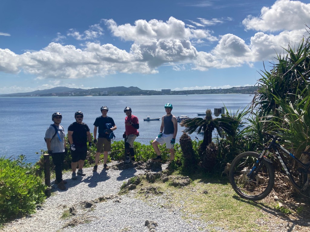
Route Guide
There’s a few styles of routes from super gnar hardcore trail rides to extra mellow almost completely paved adventure routes. Most of the easy routes feature challenge sections so riders of all skill levels enjoy them and also extended versions. Some are also near notable food stops. All routes can be started from the shop, but for groups requiring multiple cars it may be easier to start from the specified parking area.
Mellow Routes:
XC Loop
Gravel Loop
Easy Zakimi (South entrance)
Intermediate Routes:
Scenic Zakimi (North entrance)
Road to Maeda
Advanced Trails:
Spider Loop Classic
Spider Loop Short
Ishikawa Kogen Observatory DH Trail
MTB Adventure Routes:
Maeda to Observatory Trail
Lost Loop
XC Loop to Easy Zakimi
Big Scenic Adventure Routes:
Zampa Lighthouse to Gala Aoi Umi
Mellow Routes
XC Loop Mellow Route
difficulty: very easy and flat, optional challenge sections
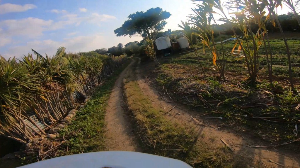
primary route: dirt farm roads
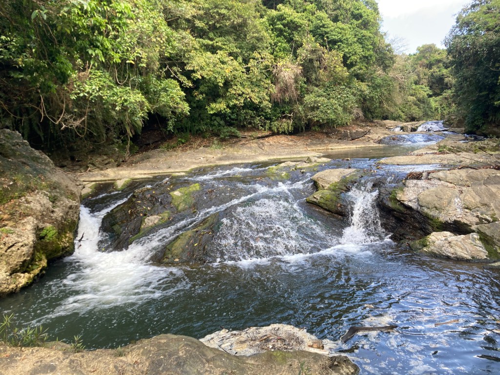
extended route: paved riding to Hiji River rapids
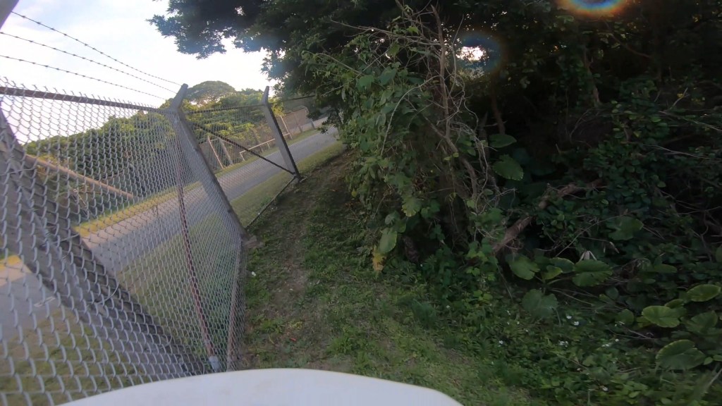
alternate route: Fenceline Singletrack (south direction recommended). Features tricker off-camber sections.
challenge area: Moto Ring (aka Dustbowl). Features clay chutes, single style jumps, berms, secret singletrack sections.
danger notes: Moto Ring is nearly unridable when wet. Farm Roads have trucks driving around by drivers not expecting to see bikes.
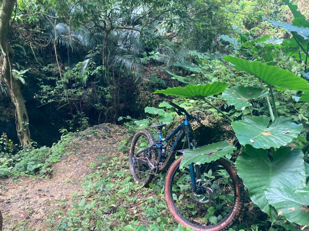
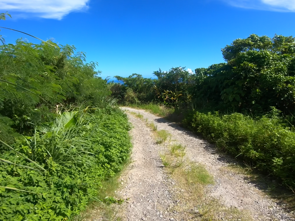
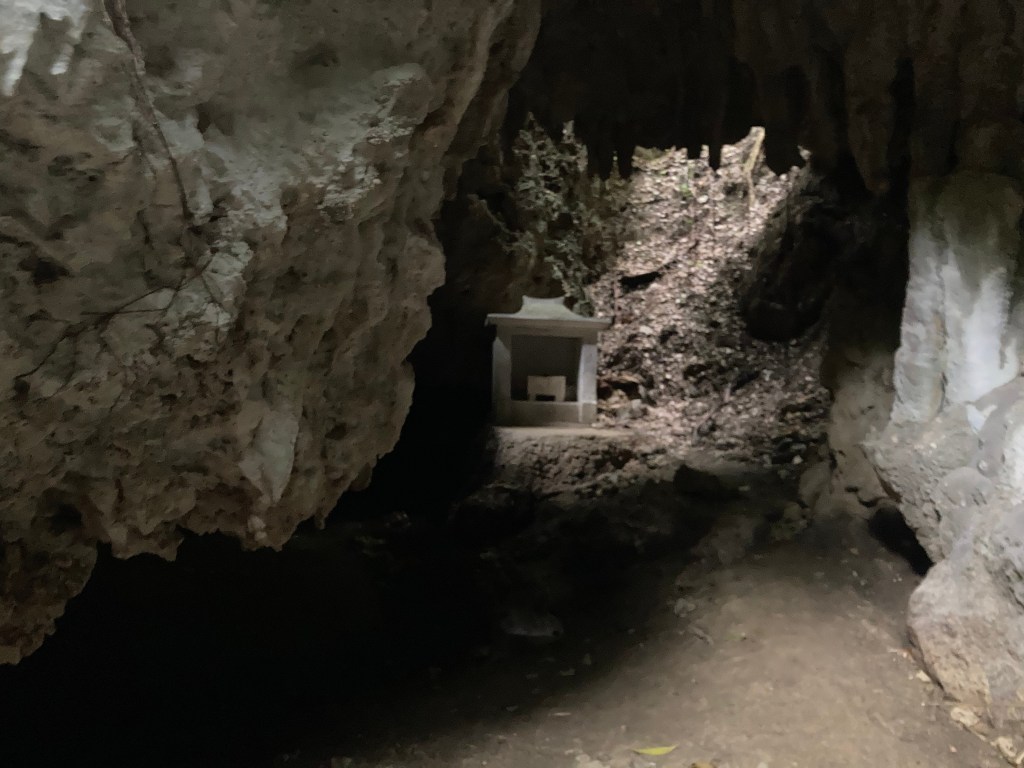
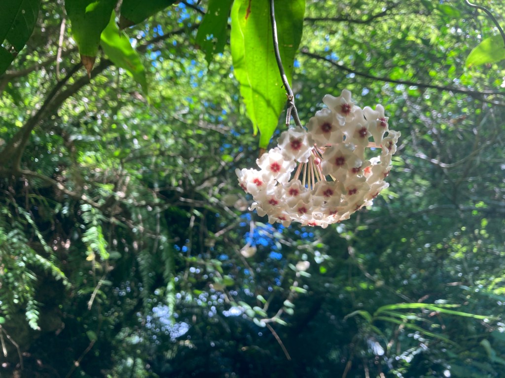
scenic features: cool shrines, can be taken to the Hiji River., sweet abandoned Scott MTB edition Jimny, cool plants
time: 1.5-3 hours
food stops: Cheek Pouch Donuts, Ikeshiro Store, Observation Deck (near Hiji River) food court, vending machines near parking area
parking area*: Kina Banjo Park
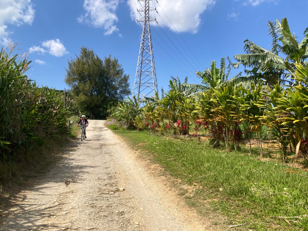
Gravel Loop Mellow Route
difficulty: Easy with light paved and dirt climbing. Paved downhills allow open speed. Optional challenge sections.
primary route: Mostly broken pavement and short mixed dirt trails
extended route: high(er) elevation gravel farm roads with sweet views
Terns for the Worst mini trail: Small easy jumps and a very difficult tech switchback.
Trials Moto challenge area: Open area for various tech challenges.
Jimny challenge area: Gravelly clay ridges and chutes great for practicing braking control.
danger notes: Some paved areas can be low grip. Paved downhills allow open speed. Moto areas are completely clay and difficult when saturated. Small wild pigs in the area. While close to lots of roads, not near any vending machines or stores!!
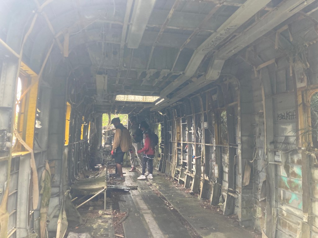
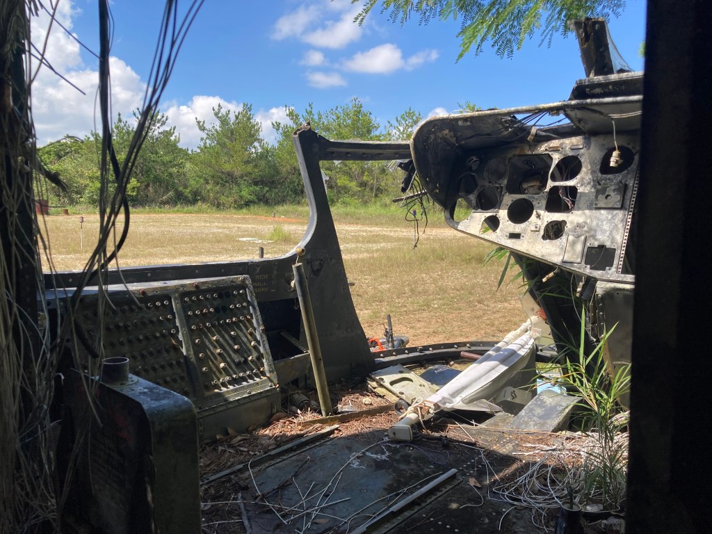
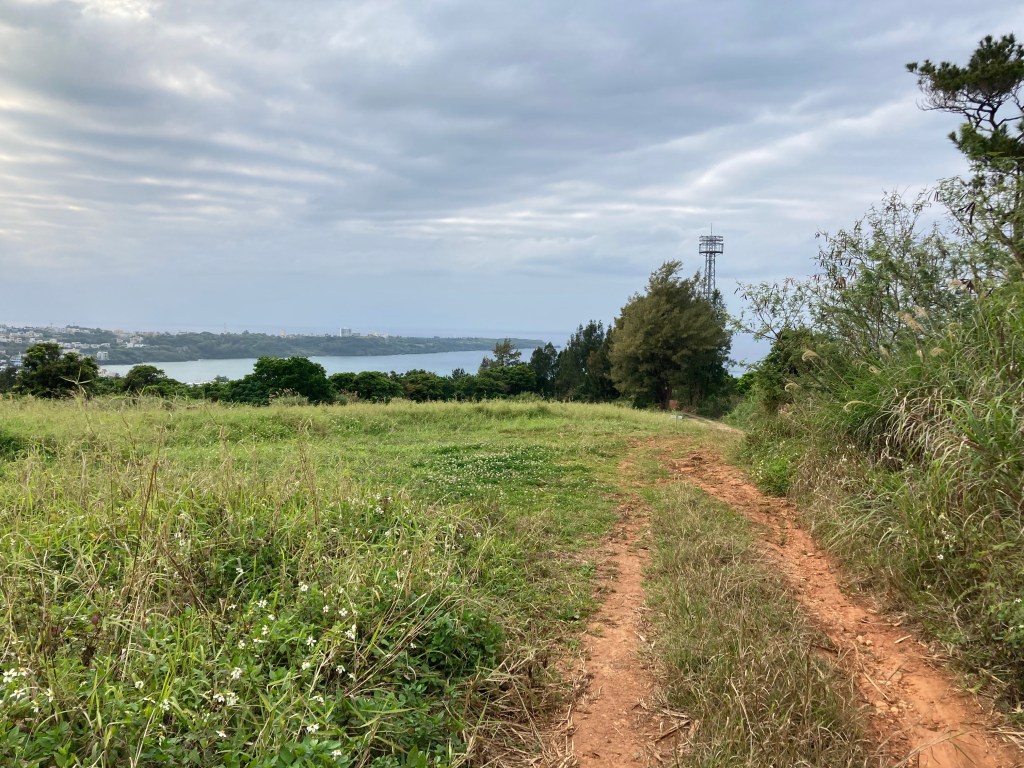
Scenic features: Abandoned helicopter and cars, wild orchids, hawks, woodpeckers, sweet epic views of Maeda and Nagahama.
time: 1-2 hours
food stops: none available
parking area*: Spider Loop Parking Area

Easy Zakimi (South Entrance) Mellow Route
difficulty: Very easy, mostly residential streets, some flat dirt roads, somewhat long paved climbs.
Cutty Castle Trail: hidden optional singletrack with slight descent.
danger notes: Must share road with cars and paths with pedestrians.
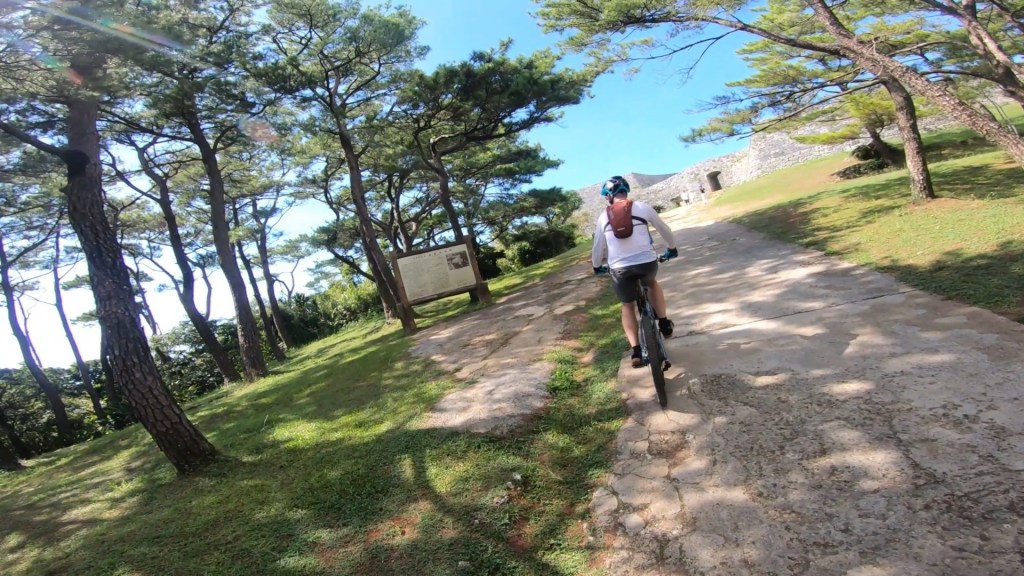
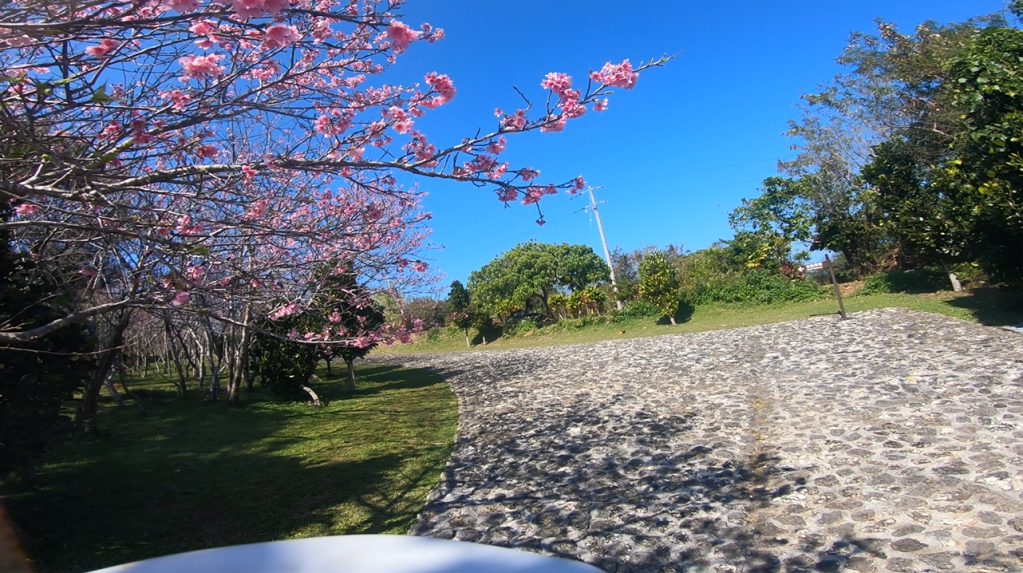
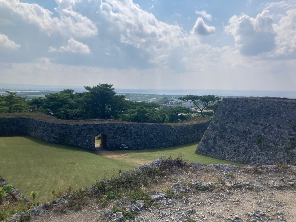
scenic features: Zakimi Castle! Lots of cherry blossom trees.
time: 1-2 hours
food stops: Cheek Pouch Donuts, Bloom Coffee Zakimi
parking area*: Kina Banjo Park
Intermediate Routes
Scenic Zakimi (North Entrance) Intermediate Route
difficulty: Mostly easy. Dirt road climbs and descents, open gravel and backroads, some steep paved climbs.
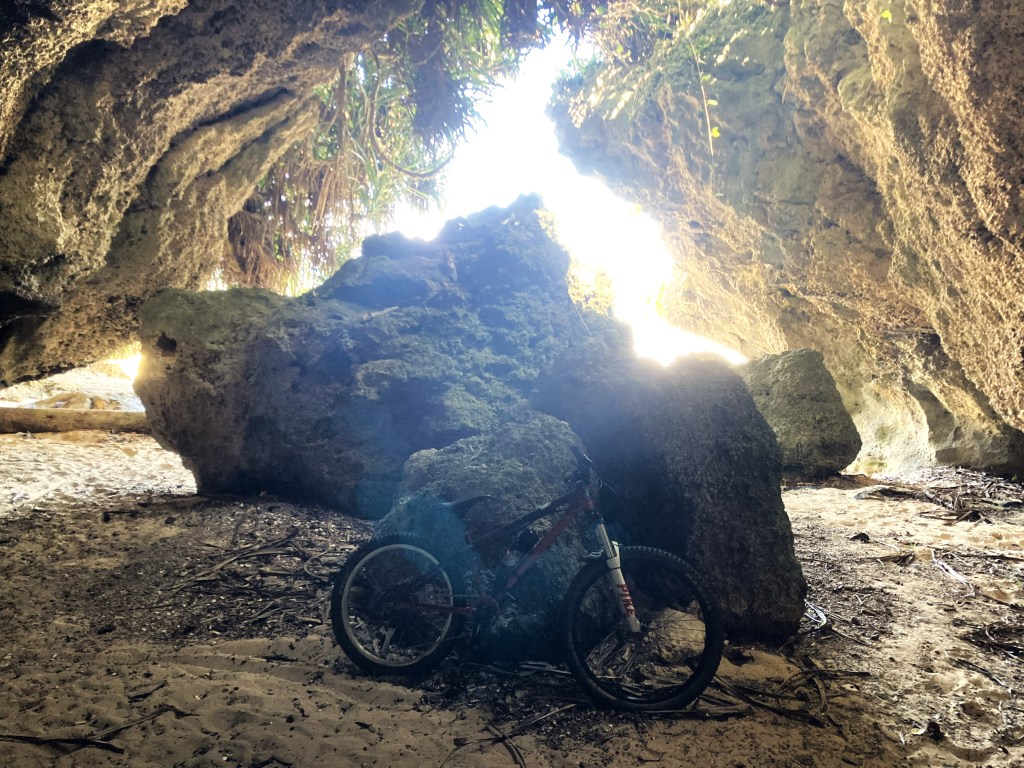
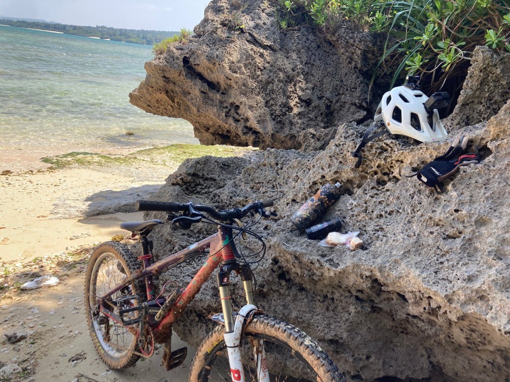
Beach Caves: optional sight
Nagahama Dam: optional sight, top of dam only accessible on weekdays
danger notes: Must share road with cars and paths with pedestrians.
scenic features: Zakimi Castle! Optional beach caves, secret crystal cave, Nagahama Dam, Senaha Beach
time: 2-3.5 hours
food stops: Cheek Pouch Donuts, Bloom Coffee Zakimi, Baywich sandwiches, 7-11, epic places to picnic
parking area*: Spider Loop Parking Area
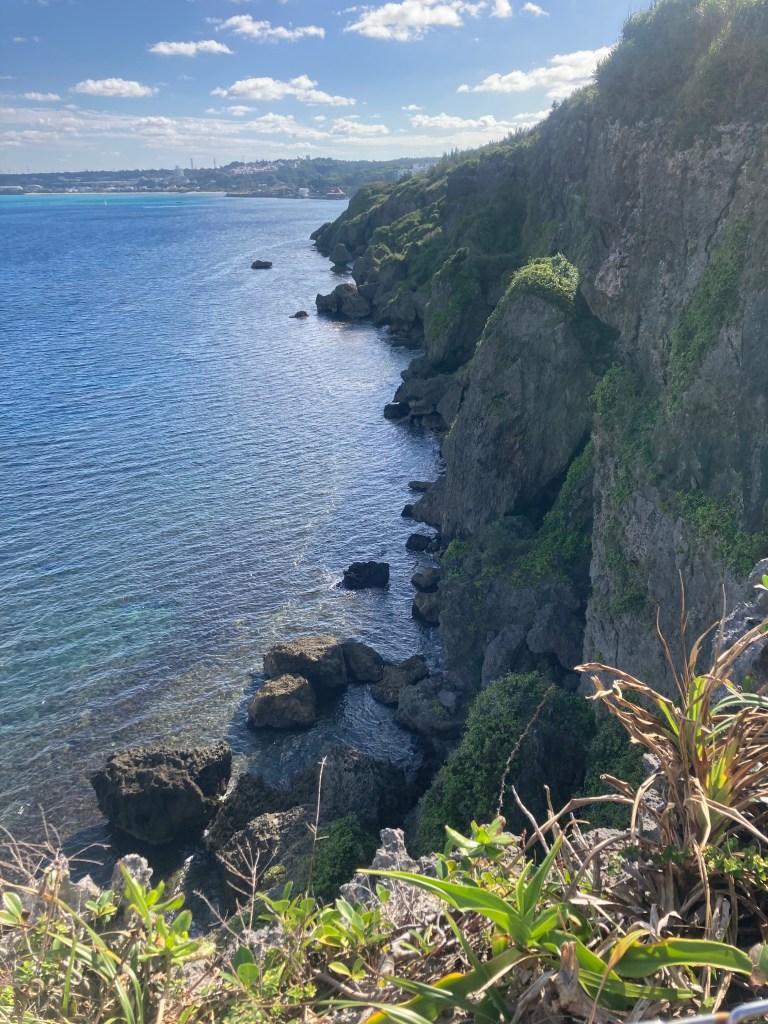
Road to Maeda Intermediate Route
difficulty: Easy, one dirt climb, then gentle paved descent, long mellow paved climb back.
danger notes: Downhill paved road is narrow with kei trucks and vans around partially blind curves.
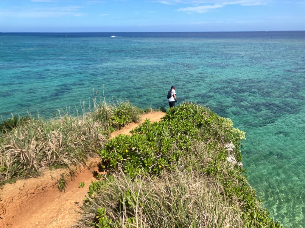
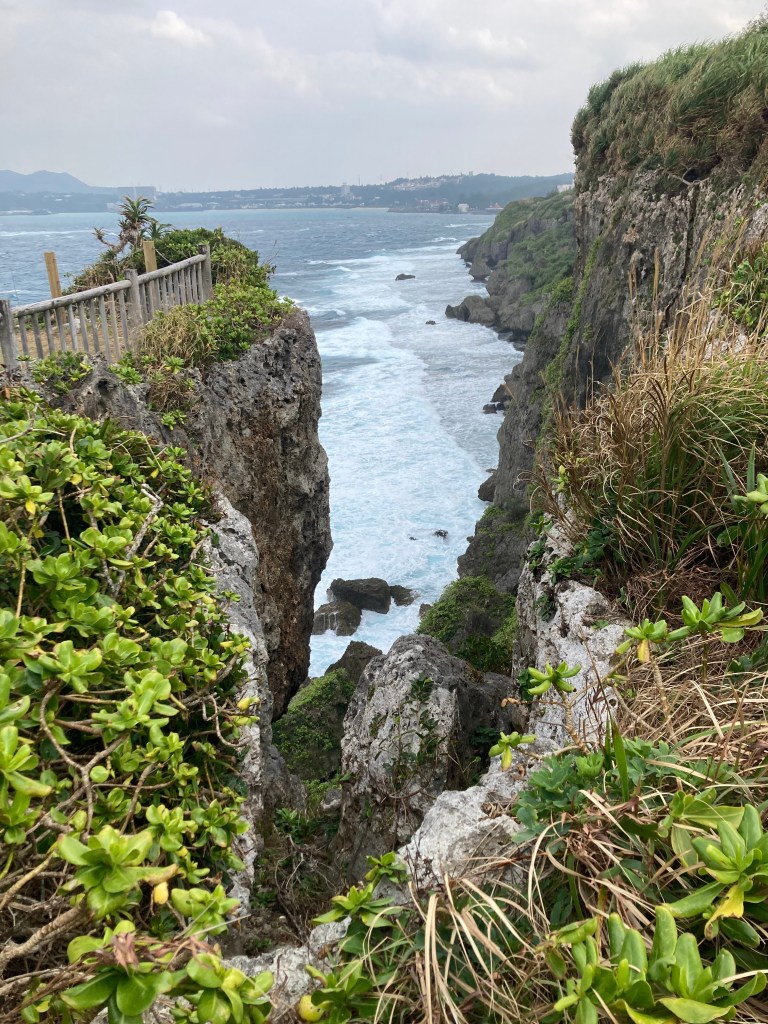
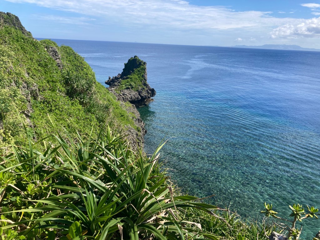
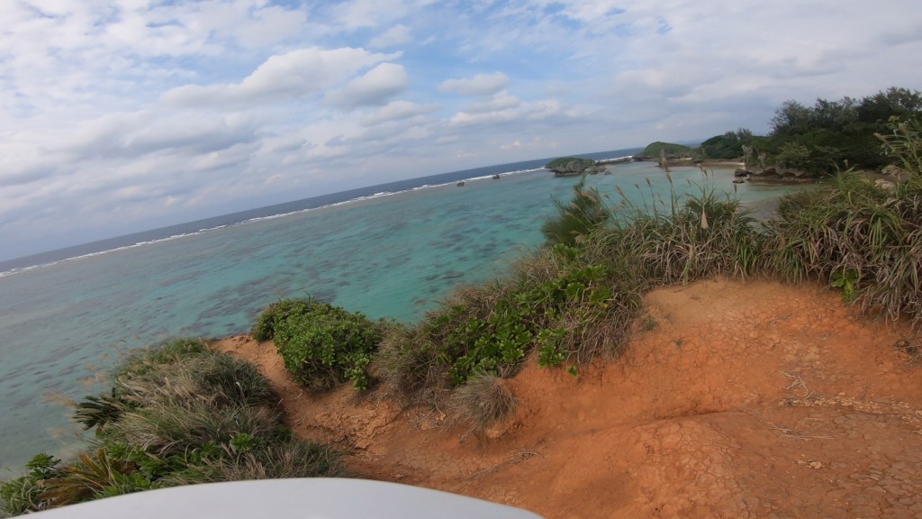
scenic features: Epic view from the top, lots of beautiful coastal cliffs, beaches, and rock formations including the Blue Cave dive location.
time: 2-2.5 hours
parking area*: Spider Loop Parking Area
food stops: epic picnic table location
Advanced MTB Trails
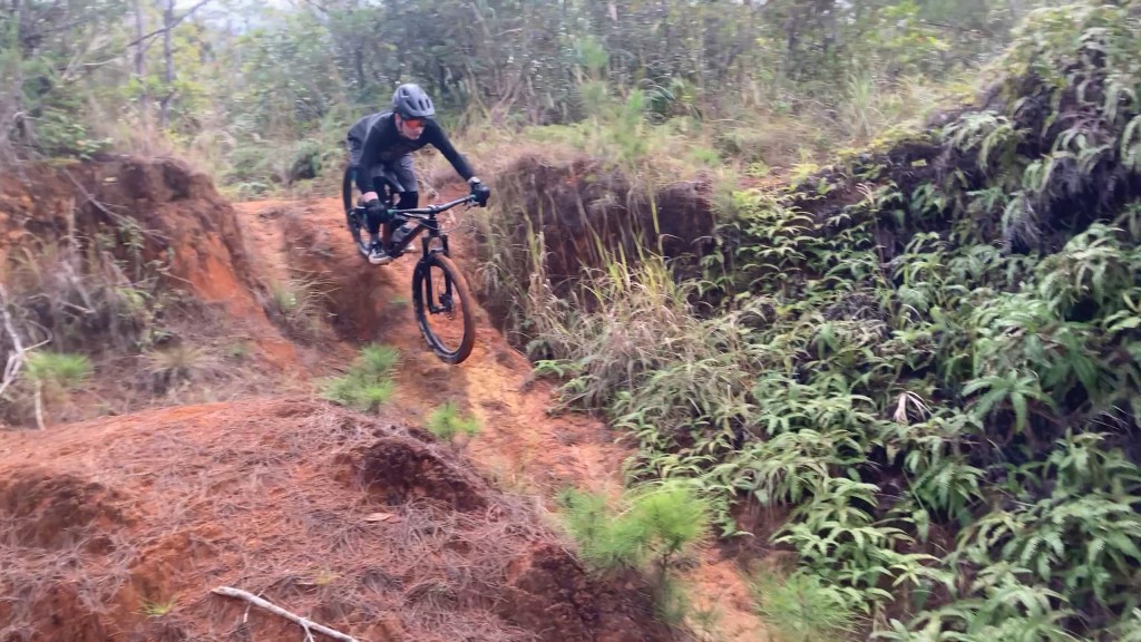
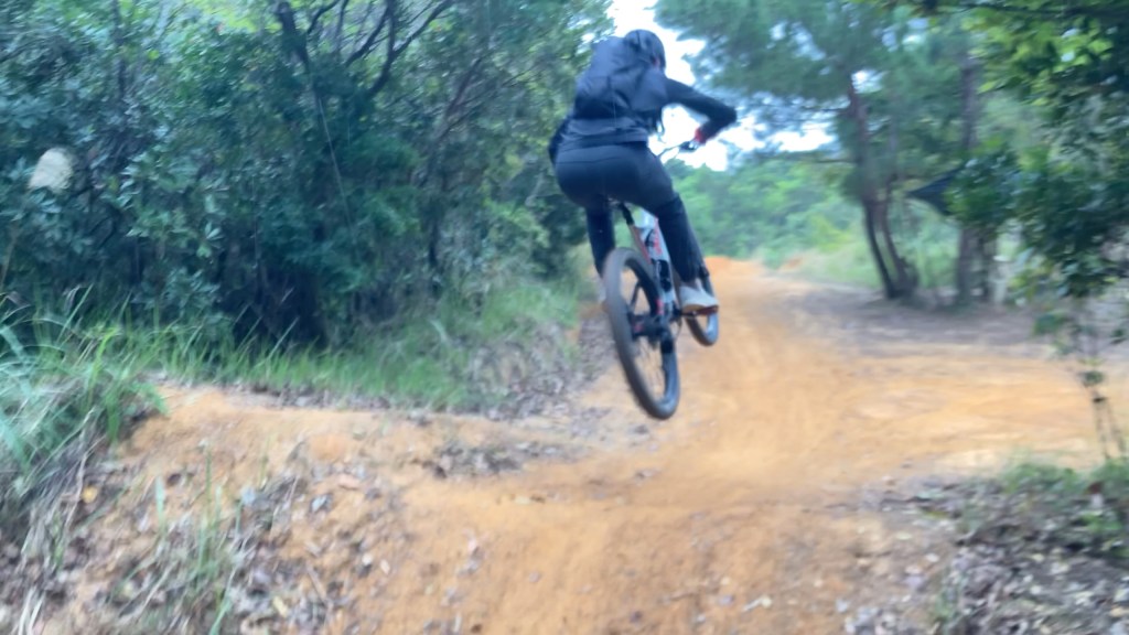
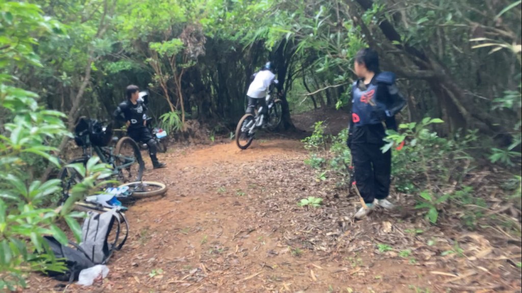
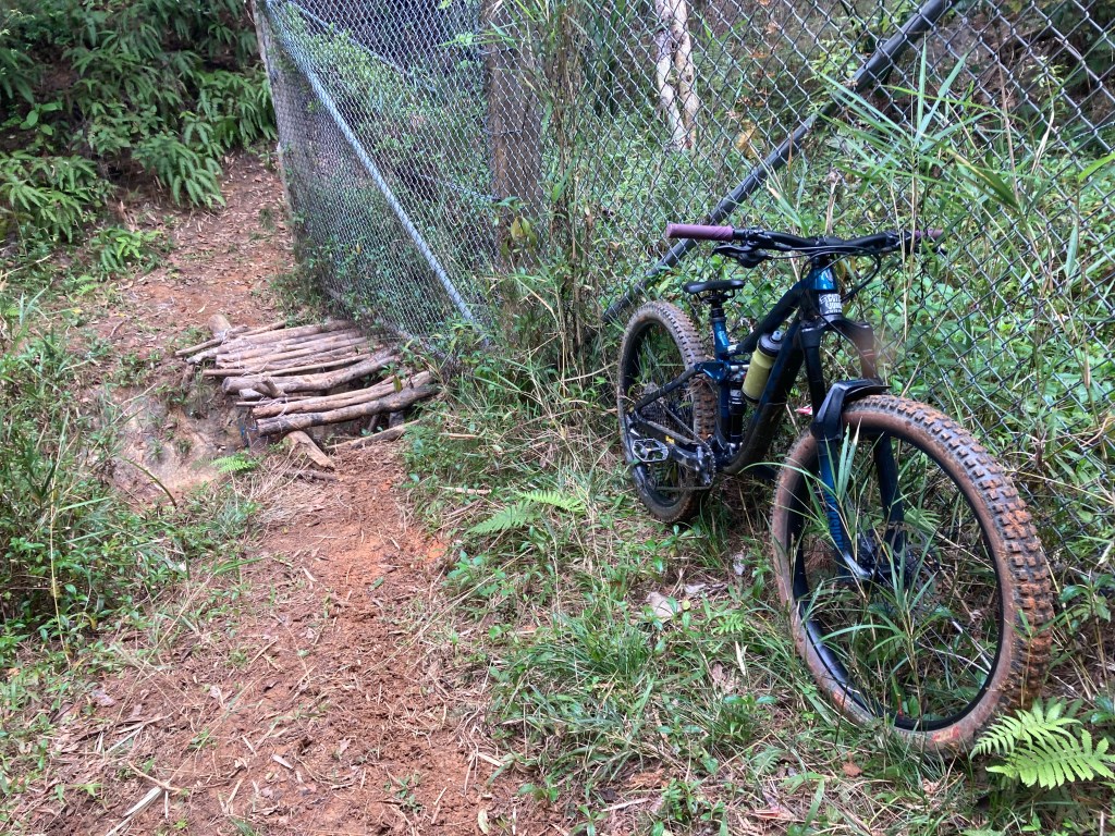
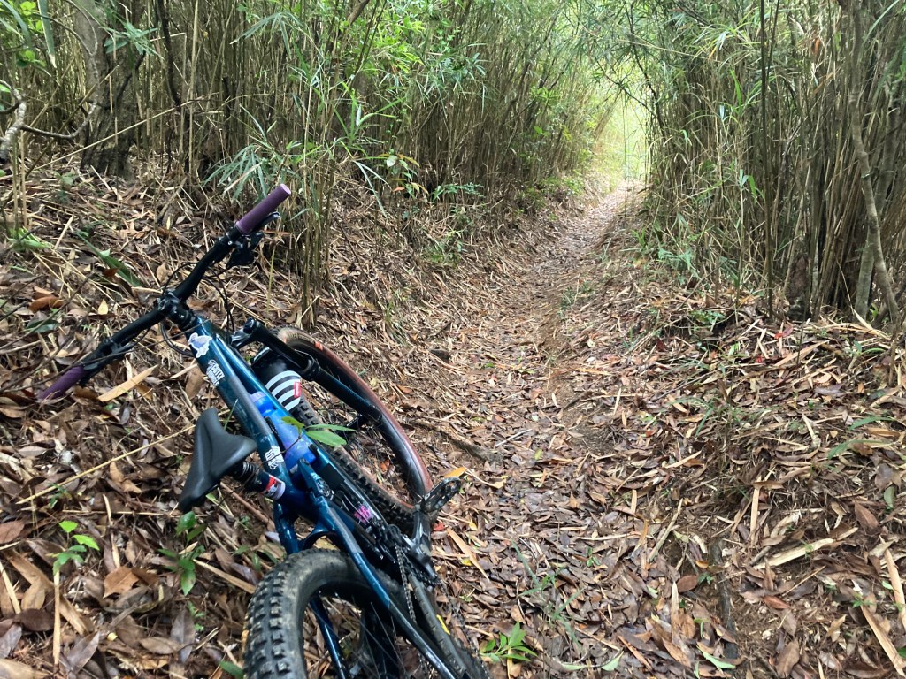
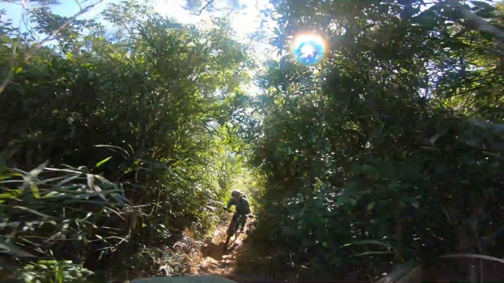
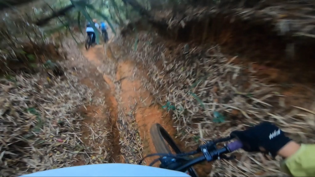
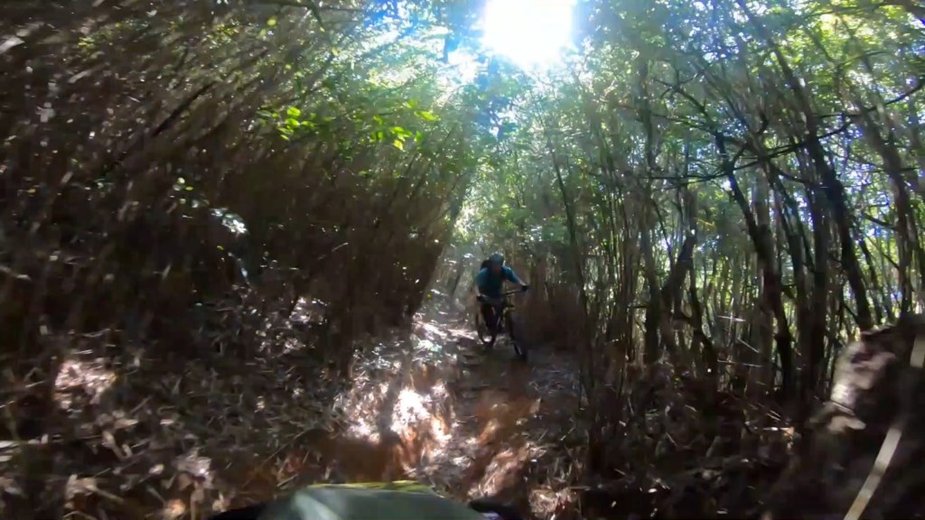
Spider Loop Classic MTB Trail
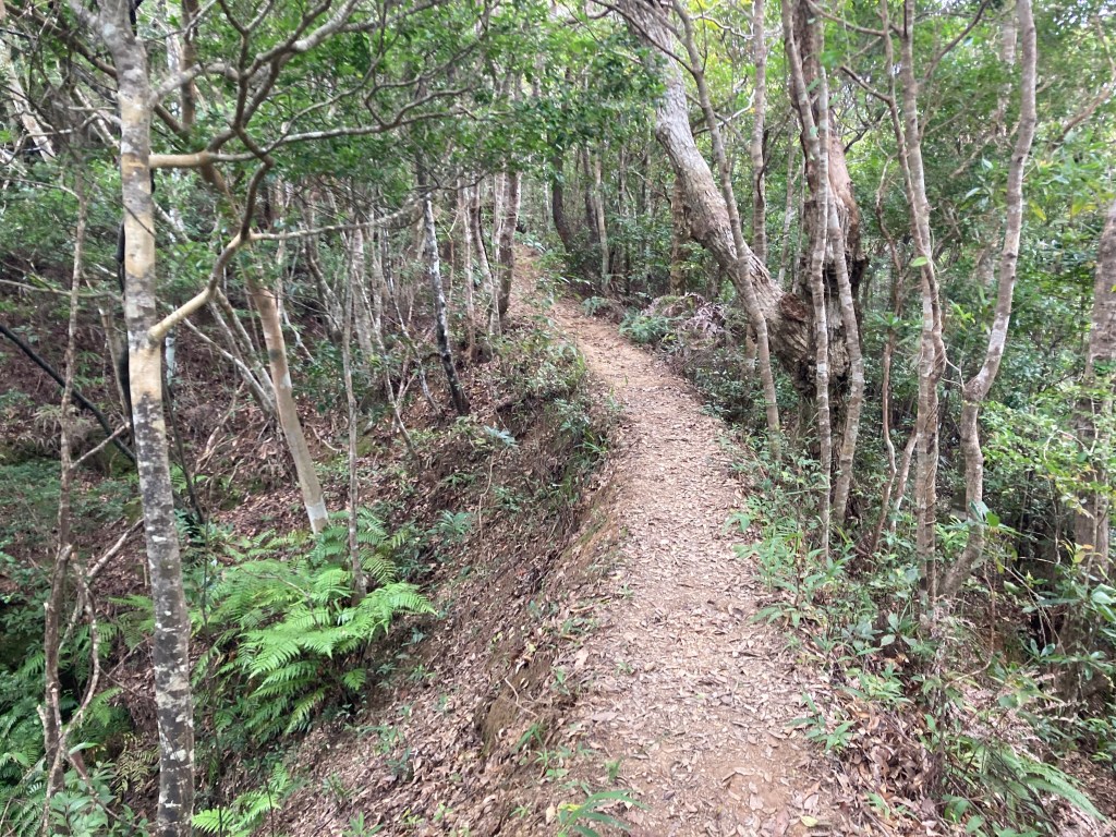
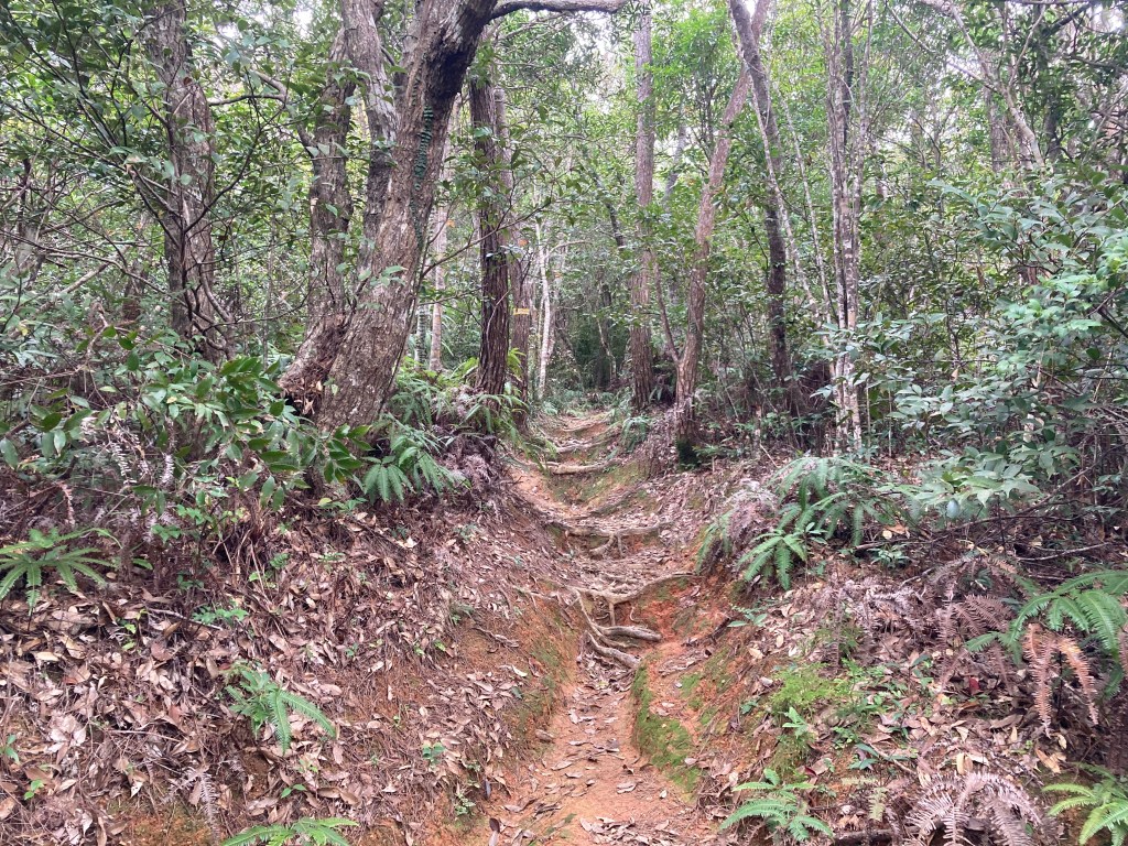
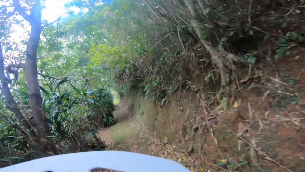
difficulty: Intermediate to Advanced. Features many short up and down sections. Some dh sections are steep, rutted, and rooty. Some dh sections are clay and steep enough to be difficult to walk down.
Picnic Table route extention: Short singletrack section that goes deeper into the jungle, out and back extension that makes the ride to the creek way sweeter.
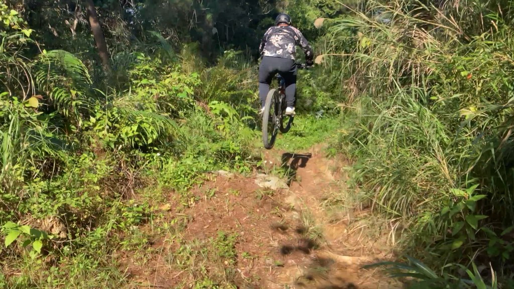
Jumpline challenge section: Short series of intermediate level gap jumps. Can be used to exit the Loop. Can also be used to push into the trail rather than the fenceline.
danger notes: Habu have not been seen here, but doesn’t mean they don’t exist! Also, after a rainy day, the Australian Pines are very fragile and likely to be scattered around the trail.
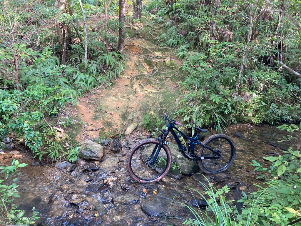
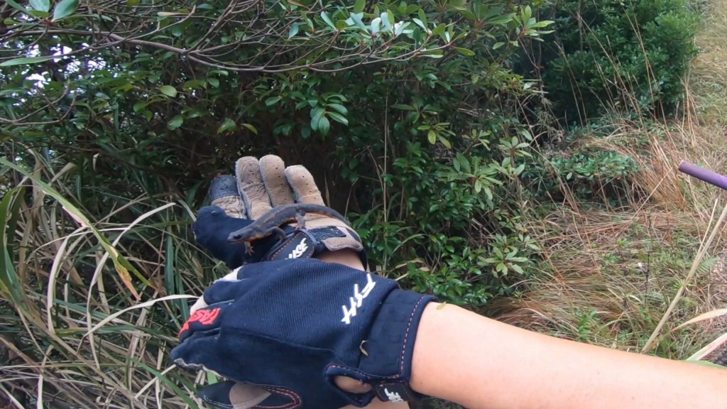
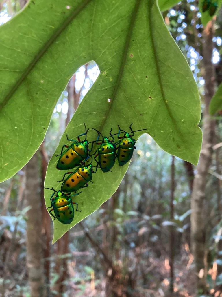
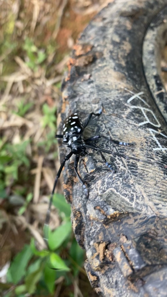
scenic features: Tropical jungle, giant blue and green pigeons, small wild pigs, endemic Ryukyu Swordtail Newts, sweet little creek.
time: 1.5-4 hours (yes, very dependent on rider pace and conditions!)
parking area*: Spider Loop Parking Area
food stops: None really, but it’s always cool to brew coffee at the trucks.
additional notes: Though some sections are very difficult, all sections are relatively short. Adventurous beginners have enjoyed the trail before, just bring a good attitude and be ready to walk the crazy stuff, slowly!
Spider Loop Short MTB Trail
difficulty: Intermediate. Nothing too steep, but some tricky slippery sections.
Jumpline challenge section: Short series of intermediate level gap jumps. Can be used to exit the Loop. Can also be used to push into the trail rather than the fenceline.
Newt World mini trail: Fun wide trail with easy turns and features. This trail is normally used to exit, but is short, fun, and repeatable.
danger notes: a few puddles and mud pits.
time: 1-2 hours.
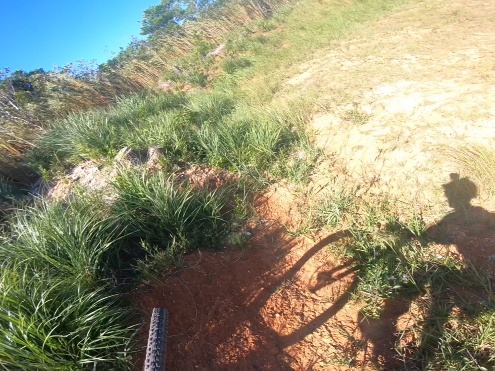
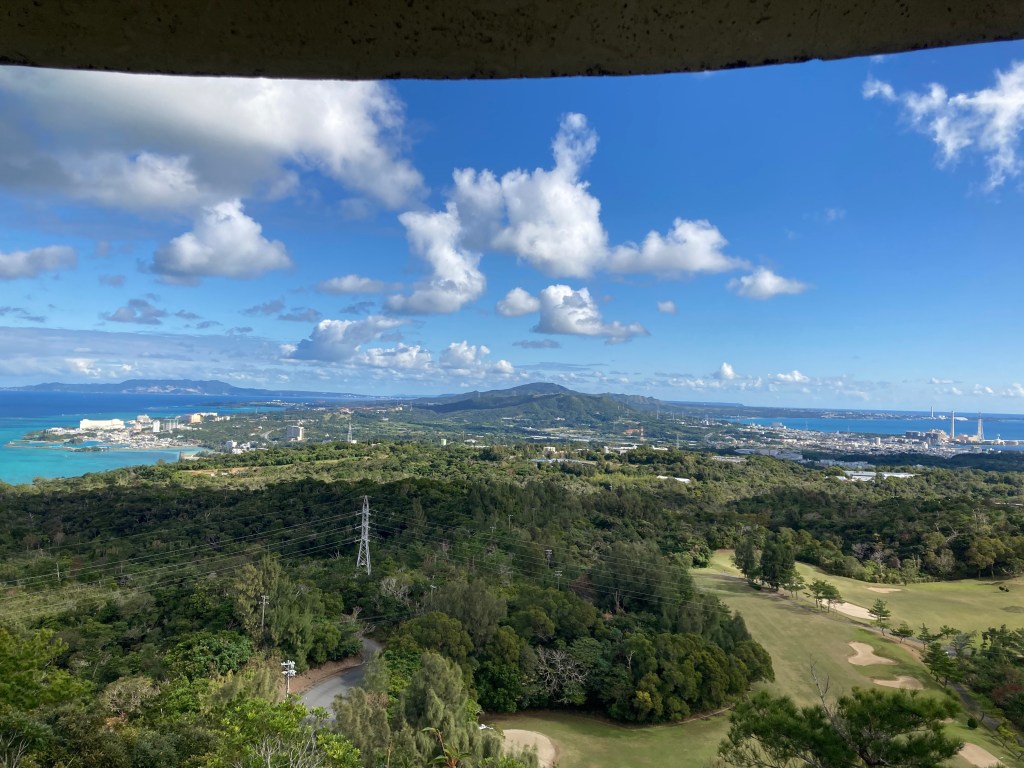
Ishikawa Kogen Observatory DH trail MTB Trail
difficulty: Intermediate to Advanced. It is one full mile long, and very wild. Okinawa’s most liked mtb trail!
primary route: Push up from the bottom. Trail generally gets more difficult the higher up you go. Since you will be descending the same way you are pushing up, you can clear debris and select lines, and most importantly: decide how far up the trail you’d like to go. Then you can leave the bike off to the side of the trail and continue up on foot to still appreciate the rest of the trail and the epic view up top.
danger notes: Top section is pretty steep, and hikers do use this trail. Having a small cow bell that makes noise while riding is very much recommended.
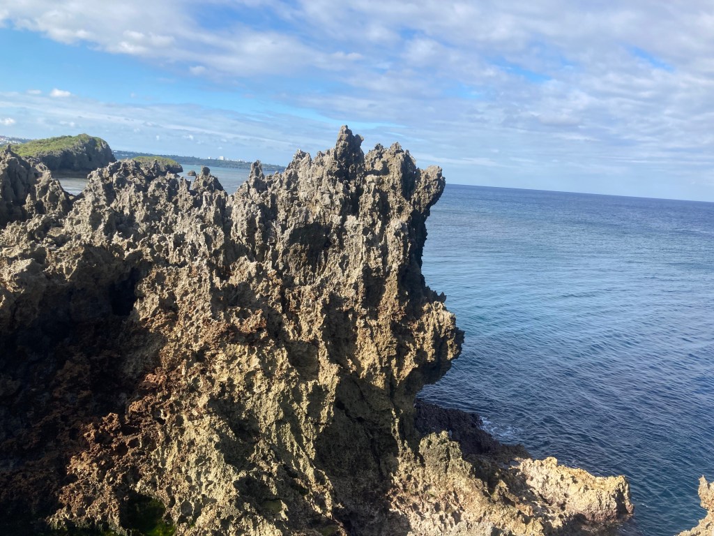
scenic features: Epic view from the observatory. Wild flowers and animals. Sweet caves at the bottom. Yamada Stone Bridge is also a very cool nearby hiking feature.
time: 1-2 hours per run
parking area*: Limited parking, about three nearby locations accomodating just a few cars each. Making this trail as part of an Adventure Route allows easy parking at the Spider Loop Parking Area.
food stops: Gozza cafe is very nice inside and located just a bit past the parking area for the trail.
Adventure Routes
Maeda to Observatory Trail MTB Adventure Route **Signature Okinawa MTB Adventure Experience Route!!**
primary route: Combines the Road to Maeda route with the Ishikawa Kogen Observatory trail. You get all the most epic Okinawa views, plus the sweetest MTB trail!
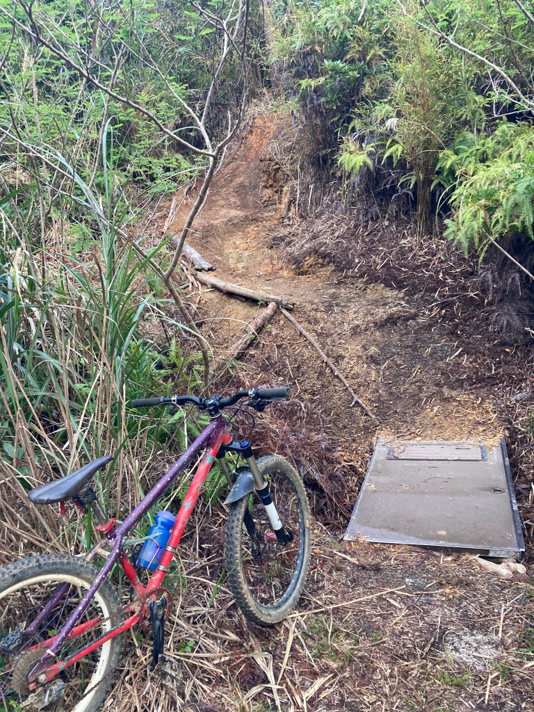
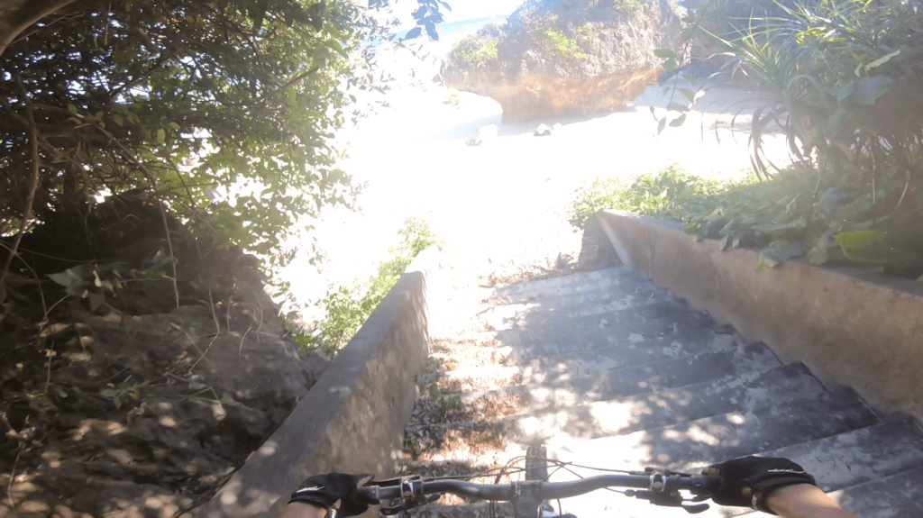
alternative route: Riders can choose to bypass the scenic beauty of the Maeda coast and instead dive into the Kunigami-Sekai Historic Road. It’s not a road! But it is a beautiful little path that takes some riding composure to survive the surprisingly tricky stair descent at the top. This drops you off by a river and two small bridges. It’s a quick sidewalk pedal to the bottom of Ishikawa Kogen Observatory trail.
time: 3-4 hours
parking area*: Spider Loop Parking Area
food stops: Gozza cafe, or picnic table at Maeda.

The Lost Loop MTB Adventure Route
difficulty: High effort, advanced skill, epic reward
primary route: Fenceline portion of Spider Loop, but instead of going into the jungle we stay along the fenceline for wild singletrack descending. Take to a scenic road then up to the backside of Ishikawa Kogen Observatory. After completing the Observatory trail, we pedal back to the cars along 58 (usually on the wide sidewalks).
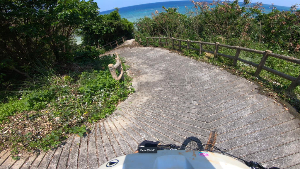
challenge notes: There are extremely steep and slippery uphills that require either a friend or some creativity to get up! Guides will often bring rope to assist. The road to the observatory is pleasant, beautiful, but pretty steep at some parts. Once at the Observatory parking lot, riders must carry their bikes up more than 200 steps of unregulated quality stairs. But it’s worth it!
danger notes: Road will have a few enthusiastically driven cars and motorcycles.
time: 3-4 hours
parking area*: Spider Loop Parking Area
food stops: Gozza cafe, the ANA Crown Plaza hotel buffet, picnic at the Observatory
Easy Zakimi to XC Loop Easy MTB Adventure Loop
difficulty: Easy, with multiple challenge opportunities.
primary route: Starting with the Easy Zakimi route allows riders to start the ride with the more strenuous paved climb, while providing sweet views and opportunities for riders to get acclimated to dirt roads and their bikes. Then heads back to the Kino Banjo Park and past to access the XC Loop.
extended route: paved sidewalk riding to Hiji River rapids
alternate route: Fenceline Singletrack (south direction recommended). Features tricker off-camber sections.
challenge area: Moto Ring (aka Dustbowl). Features clay chutes, single style jumps, berms, secret singletrack sections.
danger notes: Must share road with cars and paths with pedestrians.
time: 2.5-4 hours
food stops: Cheek Pouch Donuts, Bloom Coffee Zakimi
parking area*: Kina Banjo Park
Zampa Lighthouse to Gala Aoi Umi Adventure Route
difficulty: Long distance, easy but long climbs. Mostly paved except some dirt roads.
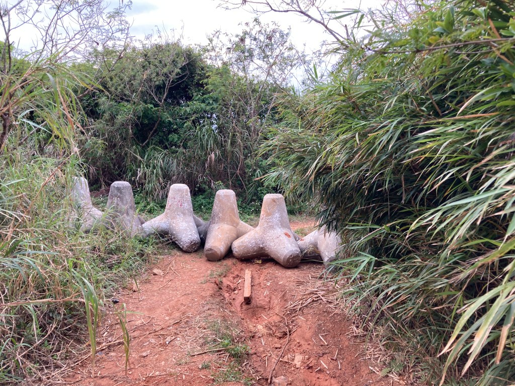
primary route: Starts with dirt climb then to the Jungle tetrapods of the Gravel Loop. From there we exit using downhill gravel and farm roads to the Senaha Coast. Then to Zampa Lighthouse by way of a secret backdoor. Then down to Gala using coastal roads and paths.
Easy Zakimi alternative route: This path is a more hybrid bike friendly as all the dirt sections are completely flat. It also throws in Zakimi Castle, while being a slightly shorter route.
danger notes: Must share road with cars and paths with pedestrians.
scenic features: Jungle tetrapods, epic views, Zampa Lighthouse, weird square cut beach, a rocky path and platform into the ocean
time: 3-4 hours
parking area*: for primary route, Spider Loop Parking Area. Easy Zakimi route, Kina Banjo Park.
food stops: Tons of picnic sights, but also food options at Gala Aoi Umi
*parking areas
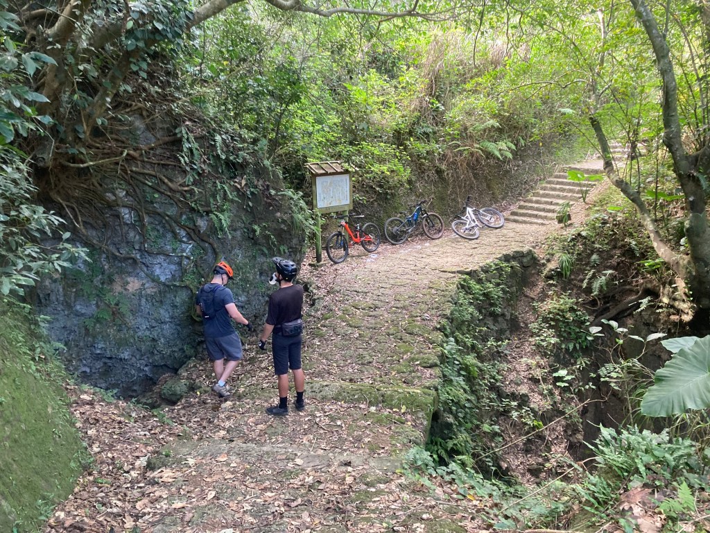
All tours typically start from the shop where bikes and helmets can be fitted for the rider. But in some cases it is easier to meet at the designated parking area. Also when the Okinawa Mountain Biking Association sets up rides, most Saturday mornings, meeting takes place at those parking areas.
Kina Banjo Parking Area
address: 195 Kina, Yomitan, Nakagami District, Okinawa 904-0302
parking spaces: A lot, but gets packed during lunch hours
stuff here: Cheek Pouch Donuts (only open W,Th,Fr), Two Dots Waffles, Ikeshiro Store (bento, soba, and other to-go food)
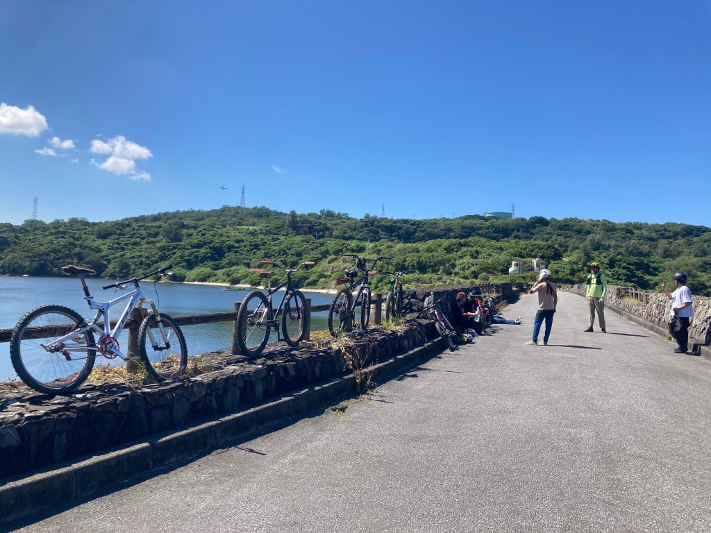
Spider Loop Parking Area
address: Right turn at the traffic lights after passing the OkiHam building if driving North.
parking spaces: A lot. Drive straight in towards the concrete block and park on the right side of the road, before or after the block.
stuff here: mosquitos.
Ishikawa Kogen Observatory Parking Options
lot A: Parking area for the Yamada Stone Bridge walking path, and also shared parking for the sauna cafe shop located here. Lot itself holds 3 cars, parking on the side of the narrow road can accommodate 2 or 3 cars. Parking in front of the chain will likely get you blocked in.
lot B: Roadside parking at the bottom of the hill. Can hold 2 or 3 cars.
lot C: Roadside parking near 58. Can hold 2 cars. Do not block the little farm road.
